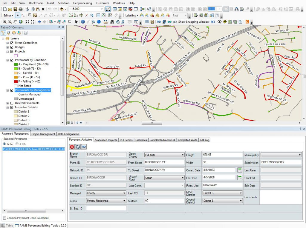
The Prince George’s County Department of Public Works and Transportation (DPW&T) has implemented a Pavement Assessment and Management System (PAMS) in order to enhance the maintenance, management, and usage of the countywide roadway network database. Albrecht Engineering is providing PAMS program management, business analysis, and GIS services to the County and is responsible for coordinating PAMS Consultant project activities across 2 teams comprising engineers, pavement raters, GIS developers, technicians and database administrators. Our staff provides on-call GIS support and training services to County stakeholders as well as technical oversight of the application development and GIS efforts related to PAMS.
The project has several goals, including the development of an ongoing and cost-effective maintenance program to provide the largest overall improvement to the road network given available funding levels. PAMS includes the MicroPAVER pavement management system, a custom ArcGIS Desktop solution for managing and analyzing pavement condition data and formulating roadway improvement projects, and an ArcGIS Online web map for coordinating projects across agencies. Recently, DPW&T moved forward with the development of a new County Road Atlas. Using ArcMap from ESRI, PAMS roadway information, and PG GIS Open Data, the Road Atlas will be a culmination of the PAMS database and GIS development. The new Road Atlas will be brought together using a combination of design elements from past versions and PAMS information that has been recently acquired

